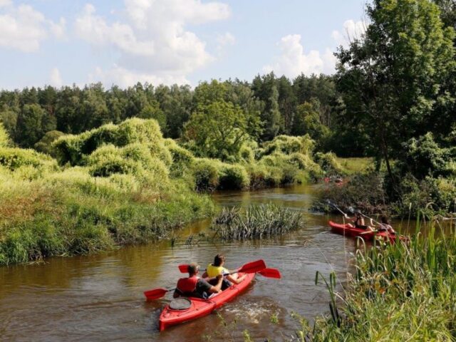
The Vistula is unique and the canoeing on the queen of the Polish rivers provides an unforgettable experience. Its width in many places exceeds a kilometer. Canoeing on the Vistula is difficult and recommended only to advanced canoeists.
For centuries, the Vistula was the most important inland waterway in Poland. It enabled the transport of goods and shipping and influenced the development of many Polish trade and transshipment centers. Currently, it is navigable for a distance of 940 km, but in autumn navigation becomes difficult or even impossible due to the periodic drop in the water lever. Fortunately canoes need a small amount of water under the knee and canoeing trips down the Vistula River can also be organized after the end of summer.
OFFER FOR
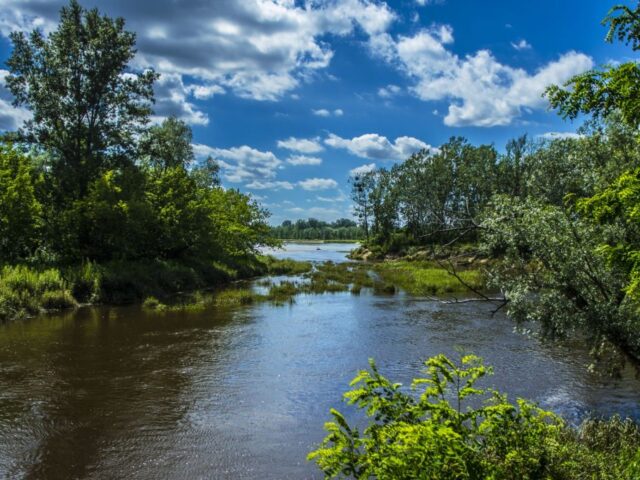
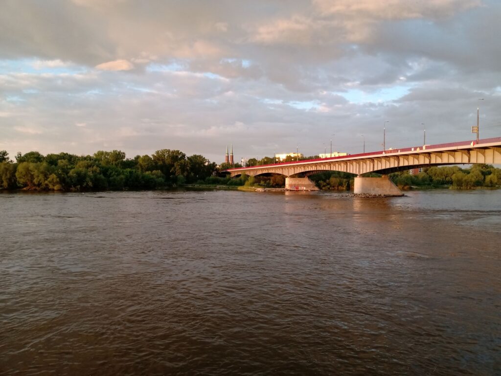
The Vistula is a poorly regulated, wild river, with large fluctuations in water levels depending on rainfall or spring thaws, and it easily changes course after the water rises. Within the borders of the Masovian Voivodeship, canoeists can go from Dęblin do Włocławskie Lake beyond Płock. Canoeing on the Vistula is difficult and not recommended for beginners. The trail is marked, long and tiring, but diversified, it is a wild rafting on a capricious, large river. Its width in many places exceeds a kilometer. The river has a calm, lowland character, but it can be capricious, with deep and shallow waters, strong winds and high waves, sudden water changes, current changes, numerous arms and sandbanks, islands and clumps in the middle of the river channel. Sometimes it is also so calm and shallow that you have to jostle your canoes.
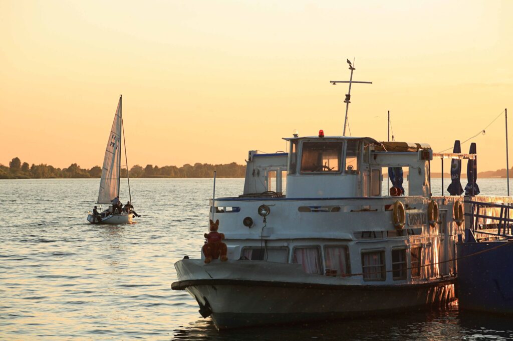
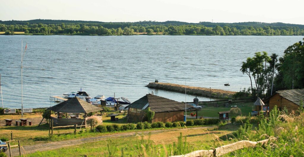
In the vicinity of Płock, the Vistula waters are built up by a dam in Włocławek. This resulted in the creation of Lake Włocławskie and a change in the appearance of the river over a distance of about 60 kilometers. There are harbors and sailing clubs on Lake Włocławskie (2km wide), while the remaining sections of the Vistula River are poorly developed. You can camp on natural sandy beaches, shores, islands and clumps.
On the Vistula, you can organize short trips (10-13 km / 2-3 hours), all-day trips 20-40km / 4-8 hours), multi -day trips ( 50-70km/ 1-2 days, 80-120km/ 3-4 days). The entire Masovian Vistula Trail is 320 kilometers long.
About
The Vistula, the longest Polish river (1074 km), with its springs in the Silesian Beskids (the slopes of Barania Góra, 1125 m above sea level), flows into the voivodeship along the watershed section from Zawichost to Puławy. It is a migration corridor and a feeding and nesting site for many bird species.
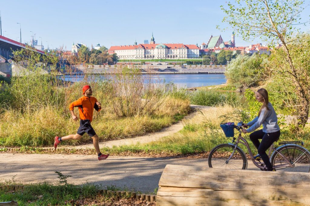
During the canoeing trip, you can admire the beautiful riverside landscapes and the animals and birds living by the water, and in the middle of the Vistula river there are oxbow lakes which are their refuge.
Where to start canoeing
One – day
Warsaw: Wawer – Młociny,
Góra Kalwaria – Warsaw,
Karczew – Warsaw,
Warsaw – Modlin,
The Modlin Fortress – Wyszogród,
Wyszogród – Płockiem,
Mniszew – Góra Kalwaria
Two – day:
Pilica – Warsaw,
Warsaw – Wyszogród
Kłoda – Góra Kalwaria,
Świerże Górne – Mniszew
3-5 days:
Dęblin – Warsaw,
Warsaw – Płock,
Góra Kalwaria – Płock
Modlin – Nowy Duninów
15 days:
Dęblin – Warsaw – Płock
WORTH SEEING
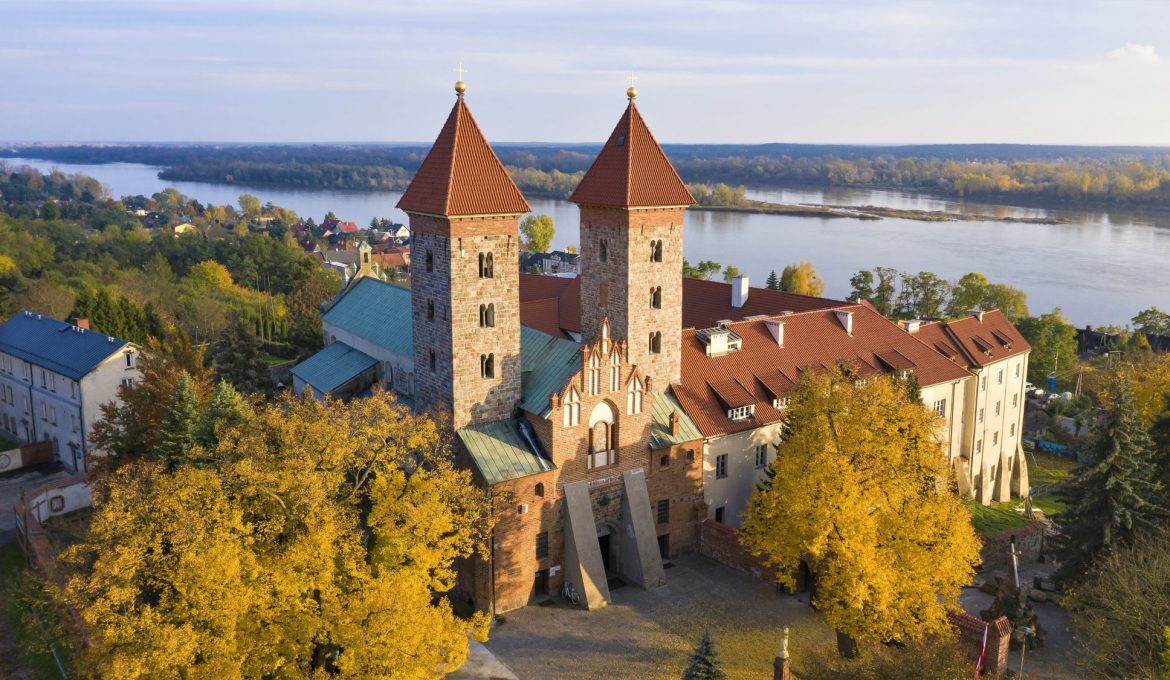
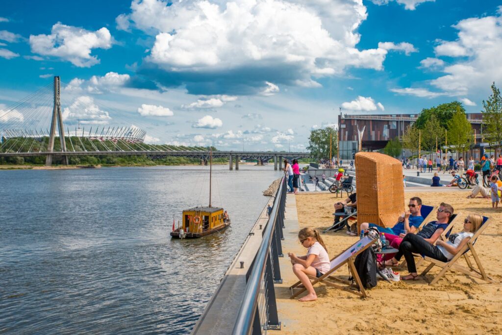
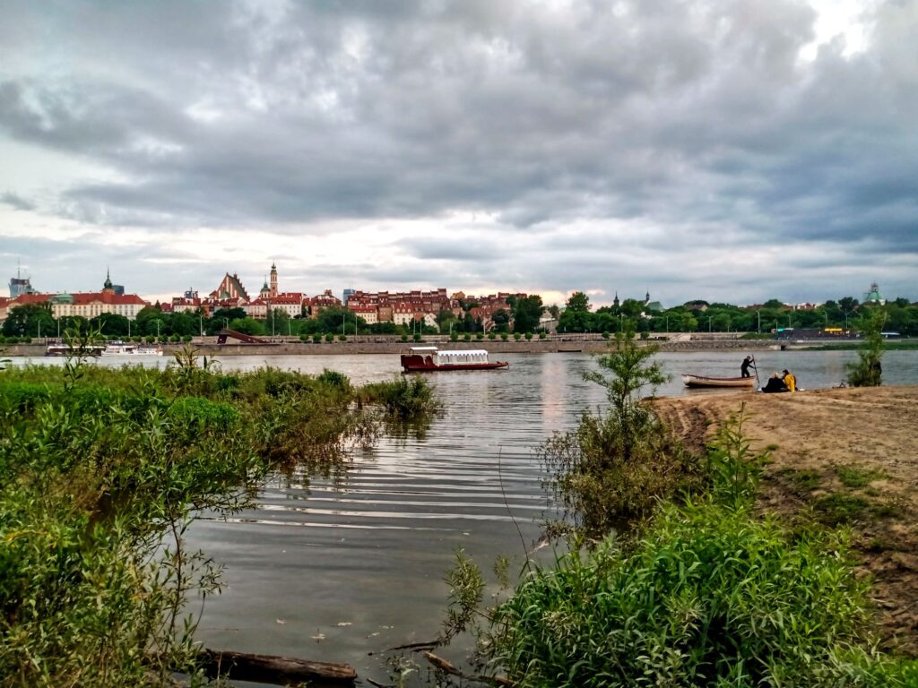
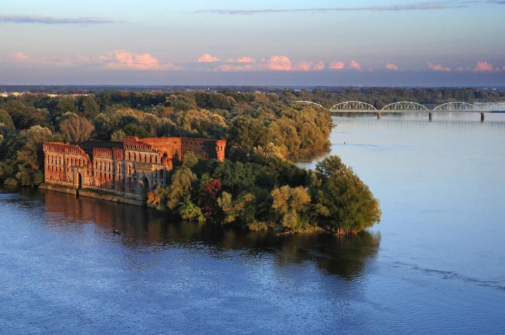
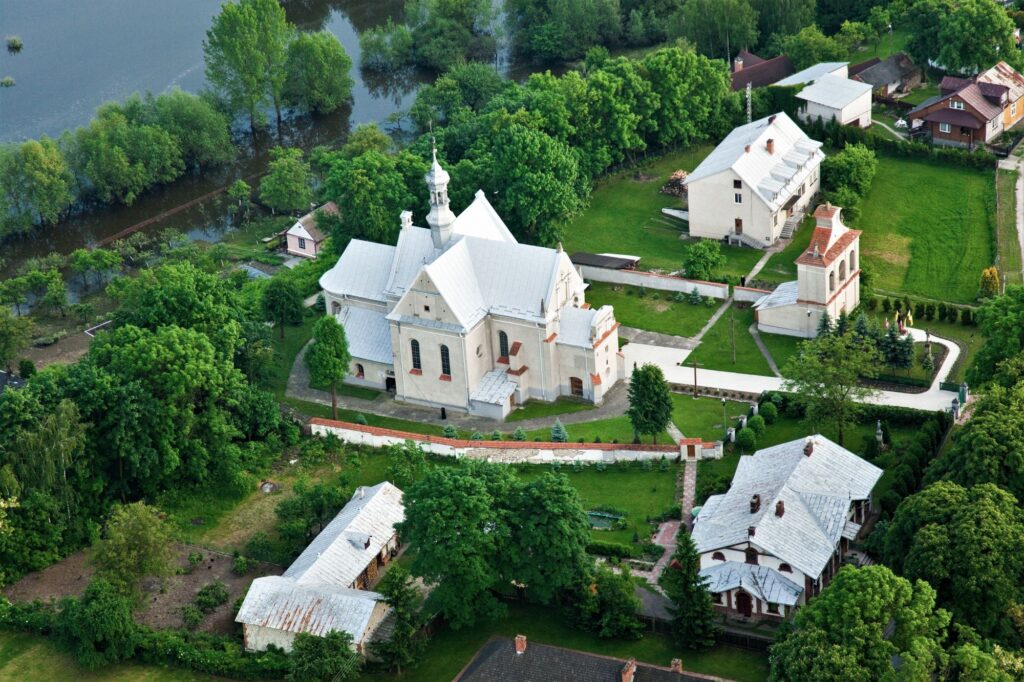
There are many interesting spots by the river, such as the ruins of the castle in Czersk, the Romanesque basilica in Czerwińsk or the Tumskie Hill in Płock. The most interesting section is from Warsaw to the fortress in Modlin.The panorama of the capital is a mixture of history and modernity, from the river you an see the Old Town, the Citadel, church towers, modern office buildings and crowded boulevards, and on the Praga side, the National Stadium, and sandy beaches. It is worth looking at the connection of the great rivers of the Vistula and the Narew and seeing the Granary in the Modlin fortress, behind which, in turn, you can see reserves, islands and sandbanks as well as steep Vistula escarpments cut by ravines. The opposite shore is the floodplain areas of the Kampinos Forest, separated by a flood embankment.